What lies across Busan Station? Choryang Ibagu-gil as an elevation story
Your trip at a glance
- Start
- Busan Station
- Time needed
- 3–5 hours
Busan Station Exit 7 → Lower historical sites → Base of 168 Stairs
Contents +
A three-to-five-hour route from the railway gateway through migration history and the 168 Stairs, with realistic luggage and alternative-route choices.

QUICK ANSWER
The short answer
Begin about two minutes from Busan Station Exit 7 and read the lower Choryang sites—former hospital, warehouse ground, church, and migration streets—before reaching the base of the 168 Stairs. There, decide whether to climb, return on a short history route, or find a current bus approach to the hillside. Allow three to five hours, leave large luggage at the station, and remove the stairs in heat, heavy rain, or ice.
- Start
- Busan Station Exit 7
- Trail start
- About 2 minutes officially
- Recommended time
- 3–5 hours
- Difficulty
- High · stairs and steep roads
- Core lens
- Rail, port, refuge, migration
- Decision point
- Base of the 168 Stairs
TAKE IT WITH YOU
Turn this guide into a route you can use
Open the stops in Google Maps and keep the Korean place names ready for signs, ticket desks, and local searches.
- Start
- Busan Station Exit 7
- Time needed
- 3–5 hours
- Trail start
- About 2 minutes officially
START & TRANSPORT
Your first leg and official transport information
Suggested exit & walk
Busan Station Exit 7About 2 minutes officiallyThe suggested exit may not be the lift exit. With luggage or mobility needs, prioritise the accessible route.Select the station to check direction-specific timetables, lifts and luggage lockers together.
- 01Busan Station Exit 7
- 02Lower historical sites
- 03Base of 168 Stairs
- 04Hillside or lower Choryang
- 05Busan Station
Last check before you go
Check closures, bookings and weather. With large bags, arrange storage and a collection time before setting out.
Recheck last trains, transfers, works and lift availability.
Check the origin, interchange and destination separately. Maintenance can change the route, so ask station staff for day-of help.
Times vary by line, direction, weekday, weekend and holiday. For a late trip, verify the last possible interchange too.
The map links named places only. Add your chosen restaurant, performance or rest stop separately. Recheck last trains, works and facility outages with the official operator.
CHAPTER 01
0 m: Busan Station is a threshold of arrival and departure
Rail, port, and hillside housing can be read in one urban relationship.
The station is a visitor gateway and an everyday transport center. Look toward the port and then uphill to understand Busan’s narrow flat land and steep residential back slope.
Do not drag a suitcase up Choryang simply because the trail begins nearby. Confirm storage hours first and keep passports, medicine, and valuables with you.

CHAPTER 02
20 m: Lower Choryang holds the infrastructure of migration
Pause at former hospital, warehouse, church, and food streets before climbing.
The official route passes traces of medical, storage, religious, and commercial functions close to rail and port movement. Their relationship matters more than checking each facade.
Chinese and other migration histories remain present in food and worship. Treat active businesses and religious spaces as living institutions, not decorative ethnic scenery.

CHAPTER 03
40 m: Redesign the trip at the base of the 168 Stairs
The stairs are terrain to evaluate, not a compulsory proof of travel.
The climb helps visitors feel the repeated journey between hillside homes and work below, but turning that history into a fitness challenge alone weakens its meaning. Inspect height, surface, weather, and your knees before deciding.
Do not rely on old information about mechanical assistance. If stairs are unsuitable, remain on the lower history route or confirm a current public-bus approach to an accessible upper point.

CHAPTER 04
80 m: Temporary refuge became a multigenerational city
The hillside should not be frozen into a romantic image of poverty.
During the Korean War, displaced people built homes on scarce slopes near port and railway work. Stairs became daily livelihood routes, and today’s view rests on that difficult mobility.
The neighborhood continues to change through residents, reuse, tourism, and vacant buildings. Never assume a worn house is empty or describe present residents as people trapped in the past.

CHAPTER 05
Upper road: the harbor view concludes the story below
Connect tracks, docks, old downtown, and hillside homes rather than collecting a skyline.
From a public viewpoint, identify Busan Station, rail lines, port, and the residential slope. The lower route gives those forms historical meaning.
Use only marked public viewpoints, never private roofs or shortcut stairs. Strong wind can sharply lower perceived temperature at the top.

CHAPTER 06
Descending can be harder than climbing
Tired knees, wet steps, darkness, and a reserved train belong in the plan.
The direct stairs may be fast but not safest. Save a wider-road or bus alternative and follow the least demanding route for the whole group.
If connecting to a train, target Busan Station at least 40 minutes before departure for luggage retrieval and platform finding. Skip a viewpoint before risking the train.
CHAPTER 07
Choryang’s slope is a daily route before it is a viewpoint
Replace stair collecting with rest points, a gentler road, and distance from homes.
Hillside stairs reveal conditions shaped by displacement, migration, and port labor, but they remain residents’ routes. Do not stand at a doorway or turn people into scenery; choose a manageable stair segment, a gentler detour, and public places to sit. Account for knee strain and wet surfaces on descent, and remove the high-point goal when luggage or mobility support makes it unreasonable.

REALISTIC ITINERARY
Read Choryang as an elevation story
Make the base of the 168 Stairs a required reassessment point.
- 00:00Busan Station Exit 7
Solve luggage and locate port and hillside.
- 00:20Lower historical sites
Read the infrastructure around the railway gateway.
- 01:10Base of 168 Stairs
Choose climb, bus alternative, or short return.
- 02:00Hillside or lower Choryang
Study refugee and migration geography at a suitable elevation.
- 03:30Busan Station
Return early for luggage and onward transport.
FOR INTERNATIONAL TRAVELERS
Separate luggage from the hillside
- Verify luggage storage and closing time before leaving the station.
- Do not rely on outdated mechanical-assistance information.
- Remove stairs in heat, rain, or ice and wear high-grip shoes.
- Respect homes and religious facilities.
- Use 1330, 112, and 119 as appropriate.
FAQ
Choryang stairs, luggage, and layover planning
How far is the Ibagu-gil start from Busan Station?
Visit Busan gives about two minutes from subway Exit 7.
Must I climb the 168 Stairs?
No. A lower history route or confirmed public-bus approach can replace them.
Can I take a suitcase?
It is strongly discouraged because of long stairs and steep roads.
How much time is needed?
Allow two hours for the lower route and three to five if adding an upper viewpoint and rest.
Can I visit during a rail layover?
With luggage solved and at least two hours, use the lower route and return 40 minutes before departure.
Check official information (3)
Information checked 2026.09.08
Hours, prices and closures can change. Check the official notice before visiting.
A research-based guide, not a first-hand trip report.
CONTINUE EXPLORING
Continue at the next station
Three next trips selected by comparing city, travel themes, and available time—without simply repeating the same neighborhood.

How to walk Gamcheon beyond the photo spots: a respectful hillside guide
A three-to-five-hour guide covering the Toseong bus transfer, refugee settlement geography, regeneration, privacy, and realistic slope choices.
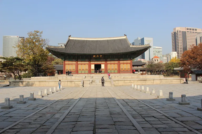
City Hall: three eras within one Seoul block
Connect late-royal Deoksugung, modern Jeongdong and today’s civic square while checking closures and public events.

Why is Seomyeon Busan’s center? A city cross-section from market to tool street
A four-to-six-hour comparison of interchange, market, underground commerce, working tool shops, reused cafes, and the night return.