Mudeungsan Is a Choice of Depth, Not a Station Name
Your trip at a glance
- Start
- Hakdong·Jeungsimsa
- Time needed
- Half to full day
Accommodation → Hakdong·Jeungsimsa → Support center
Contents +
Separate a short forest walk, temple visit, and full hike by weather, closure, fitness, and return transport.

QUICK ANSWER
The short answer
Hakdong·Jeungsimsa Station is a transfer gateway, not the trailhead. Take a bus to the Jeungsim district, then choose one of three different days: a short forest program, a temple-centered walk, or a longer mountain route. Check real-time closures, entry-time controls, weather, equipment, and the return bus that morning; turning back early is a successful completion.
- Start
- Hakdong·Jeungsimsa
- Transit
- Line 1
- Recommended time
- Half to full day
- Route
- 5 key stops
TAKE IT WITH YOU
Turn this guide into a route you can use
Open the stops in Google Maps and keep the Korean place names ready for signs, ticket desks, and local searches.
- Start
- Hakdong·Jeungsimsa
- Time needed
- Half to full day
- Transit
- Line 1
START & TRANSPORT
Your first leg and official transport information
Suggested exit & walk
Hakdong·JeungsimsaCheck the first leg and transport in the route below.The suggested exit may not be the lift exit. With luggage or mobility needs, prioritise the accessible route.Select the station to check exit facilities and first and last trains by direction.
- 01Accommodation
- 02Hakdong·Jeungsimsa
- 03Support center
- 04Turnaround check
- 05Jeungsim district
Last check before you go
Check closures, bookings and weather. With large bags, arrange storage and a collection time before setting out.
Recheck last trains, transfers, works and lift availability.
Check the origin, interchange and destination separately. Maintenance can change the route, so ask station staff for day-of help.
Times vary by line, direction, weekday, weekend and holiday. For a late trip, verify the last possible interchange too.
The map links named places only. Add your chosen restaurant, performance or rest stop separately. Recheck last trains, works and facility outages with the official operator.
CHOOSE DEPTH 01
“Entrance” in the station name does not mean the trail starts outside
The bus transfer is part of the hike.
Confirm direction, destination, and the final return service. Organize a large pack before boarding and recheck current park controls before leaving the bus.

CHOOSE DEPTH 02
Forest, temple, and mountain are three different itineraries
Arrival does not require choosing the longest route.
A short forest program, Jeungsimsa walk, and a route beyond Jungmeorijae demand different time and equipment. Use the slowest person in the group as the standard.

CHOOSE DEPTH 03
A closure is a boundary, not advice
Rain, heat, fire risk, and maintenance can change access that day.
Check Korea National Park Service real-time status and entry-time controls. A path visible in a map app is not permission to enter it.

CHOOSE DEPTH 04
Enter only when six trailhead checks agree
Closures, weather, daylight, water, footwear, and return transport should all support the route.
International visitors may need more time to interpret Korean place names and warnings. Save “증심지구,” your chosen trail, turnaround point, and return bus stop in both Korean and English. If a control notice is unclear, show the saved route at the visitor support center. A map app’s estimate may not account for rest, steep grades, or time lost to navigation.
Remove the summit goal when water, grippy footwear, wind or rain protection, a charged phone, or a daylight return margin is missing. Save the distinction between 1330 for non-emergency interpretation and 119 for a mountain emergency requiring rescue. Changing to a short forest route because a check fails is the core of good planning, not a failed hike.

CHOOSE DEPTH 05
Columnar joints are protected geology, not a climbing prop
Read structure from the designated trail.
Stay on viewpoints and marked routes, never write on rock or collect stone and plants, and keep enough hearing to notice wildlife and other hikers.

CHOOSE DEPTH 06
Daylight and the return bus define completion
Keep energy for descent and leave at the preset turnaround time.
Descending strains knees and becomes harder after dark. Return to the Jeungsim district early, regulate temperature and hydration, and seek help for persistent pain or dizziness.

REALISTIC ITINERARY
- Before departureAccommodation
Check closure, weather, gear, and bus.
- 08:00Hakdong·Jeungsimsa
Transfer toward Jeungsim district.
- 09:00Support center
Choose today’s depth.
- NoonTurnaround check
Reassess time and energy.
- Before darkJeungsim district
Finish the descent and return.
FOR INTERNATIONAL TRAVELERS
- Check real-time closures and entry times.
- Never use side paths or closed routes.
- Carry water, wind protection, and grippy shoes.
- Use the slowest traveler as the route standard.
- Descend well before the final bus.
- Keep Korean route, turnaround, and bus-stop names plus 1330 and 119 available offline.
FAQ
Can I hike directly from the station?
No. Transfer by bus to the Jeungsim district.
Is it suitable for beginners?
Choose a short forest or temple route and keep it separate from a full hike.
Is the summit always open?
No. Some summit access can require reservation or identification, and closures change.
What if I cannot understand a Korean closure notice?
Show your saved route at the visitor support center and confirm whether entry is allowed. Use 1330 for non-emergency interpretation and 119 only for an emergency requiring rescue; do not start when the status remains unclear.
Check official information (3)
Information checked 2026.09.07
Hours, prices and closures can change. Check the official notice before visiting.
A research-based guide, not a first-hand trip report.
CONTINUE EXPLORING
Continue at the next station
Three next trips selected by comparing city, travel themes, and available time—without simply repeating the same neighborhood.

Sotae: the metro-to-mountain gateway
Treat Sotae as a transfer base for Mudeungsan rather than a walk-out attraction. Save the bus route, official trail map, weather alert and return time offline.
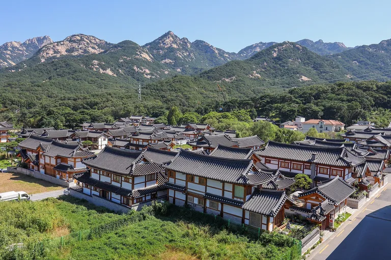
Gupabal: plan the bus before the hanok village
Transfer to Eunpyeong Hanok Village, distinguish lived-in homes from public sites, then choose a temple or trail.

Dolgogae: climb toward Sajik Park and Gwangju’s view
Use a bus or taxi for the long uphill gap, then connect the Sajik altar, observatory and Gwangju Hyanggyo with historical context and respectful access.